Exploring Pacific Palisades’ Micro-Neighborhoods and Lifestyles
July 2, 2026
July 2, 2026
If you are exploring Pacific Palisades, one neighborhood name rarely tells the whole story. This is a community shaped by distinct pockets, different street patterns, and a rebuilding period that makes block-by-block context especially important right now. Understanding the micro-neighborhoods can help you narrow your search, align your lifestyle goals, and make a more confident decision. Let’s dive in.
Pacific Palisades is better understood as a collection of community-defined areas than as one uniform neighborhood. The Pacific Palisades Community Council publishes area maps, and those maps are the guiding reference if a written description conflicts with a boundary.
City planning also plays a role in how the area looks and functions. The Brentwood-Pacific Palisades Community Plan and the Pacific Palisades Commercial Village and Neighborhoods Specific Plan help shape land use and neighborhood character, especially around the Village and nearby residential areas.
There is another layer to keep in mind today. Los Angeles City Planning says it is fast-tracking eligible rebuild projects in the Palisades, and Palisades Village is scheduled to reopen in August 2026. That means two streets with the same neighborhood label may still feel quite different in the near term.
The biggest differences here are less about a single zip code identity and more about what daily life feels like. In practical terms, the key questions are usually about walkability to the Village, lot size, privacy, views, and how the streets themselves shape the experience.
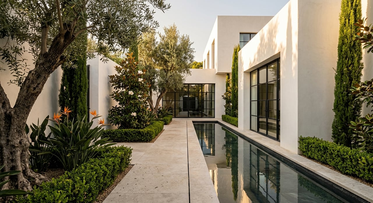
Some pockets feel compact and pedestrian-oriented. Others feel more estate-like, more bluff-oriented, or more tucked into hillside and canyon terrain. If you are choosing between micro-neighborhoods, it helps to think in terms of lifestyle geometry, not just home style.
The Alphabet Streets, identified by the Pacific Palisades Community Council as Area 5, sit north of Sunset from east of Temescal Canyon to upper Rivas Canyon. This area traces back to an original tract recorded in 1920, with smaller lots laid out on a grid.
That early layout still shapes the experience today. The area is widely considered the most walkable and village-oriented pocket in Pacific Palisades, which makes it a natural fit if you want errands, day-to-day routines, and social activity to feel more connected.
Historically, planning materials also reference early small bungalows that helped define the area. While the housing mix has evolved over time, the neighborhood pattern still tends to feel more compact than estate-style sections of the Palisades.
If you value a walk-to-Village rhythm, this is often the clearest fit. It can also appeal if you want a more traditional neighborhood grid rather than curving hillside streets or oversized estate lots.
Because recovery and rebuilding remain part of the current landscape, the experience can vary by block. That is especially important in a neighborhood where walkability and nearby activity are a major part of the appeal.
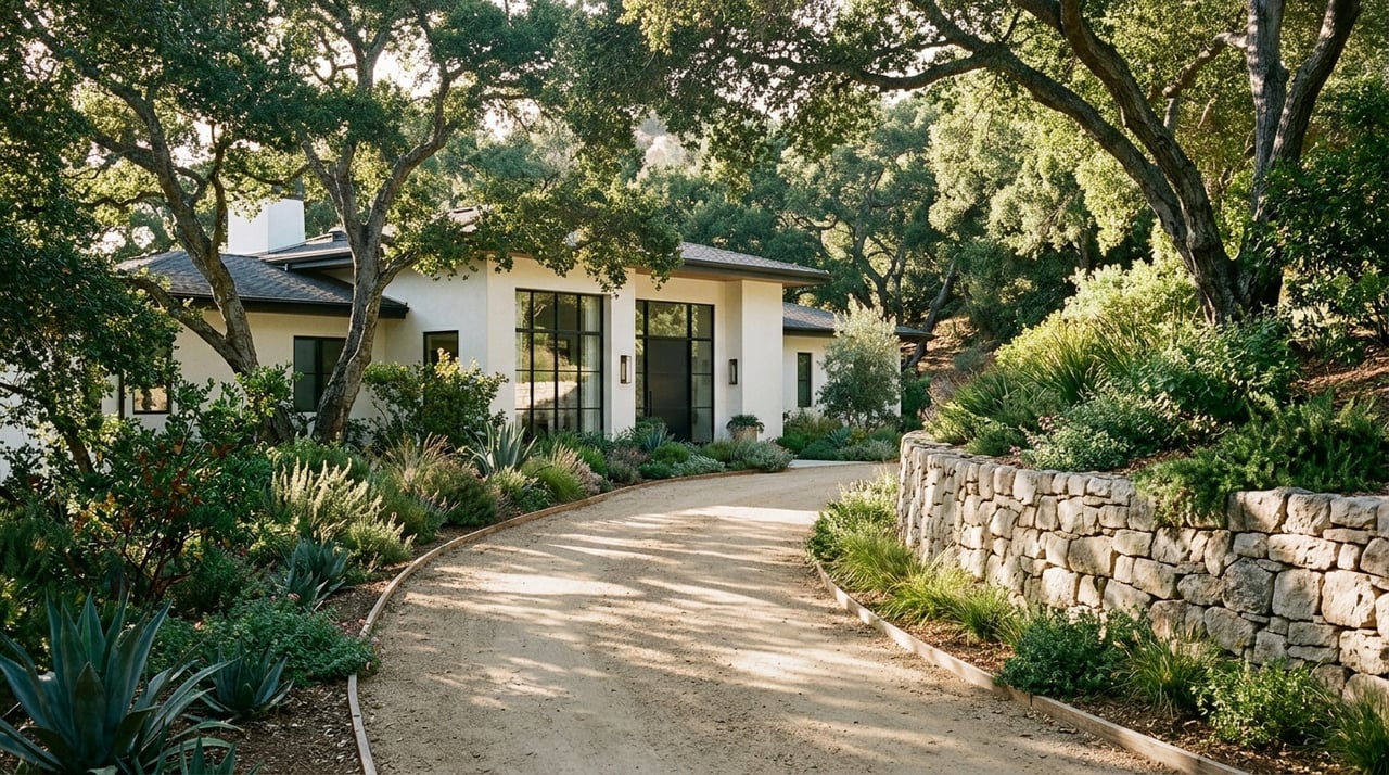
Huntington Palisades, or Area 6 on the Community Council map, sits south of Sunset from Temescal Canyon to Chautauqua. SurveyLA describes it as a 226-acre mesa overlooking the ocean, originally subdivided in 1926.
This pocket is known for residences dating from the 1920s through the 1950s, along with Period Revival and Ranch styles. SurveyLA also notes detached garages, landscaped medians and traffic islands, mature landscaping, and period streetlights.
The overall feel is often more formal and car-oriented than the Alphabet Streets. At the same time, it still offers a strong coastal identity and a distinctly established neighborhood character.
Huntington Palisades tends to appeal to buyers who want a classic, established setting with a more structured visual character. The combination of mesa topography, mature landscaping, and historic subdivision patterns gives it a composed and enduring feel.
It is not usually the first choice for a highly pedestrian daily routine. Instead, it often suits buyers who prioritize a strong residential setting and a sense of arrival over quick Village access.
The Riviera, shown by the Community Council as Area 8, extends north and south of Sunset up to Allenford and Paul Revere Middle School. SurveyLA describes roughly 125 parcels with large one- and two-story single-family homes, curving streets, and lots that can exceed an acre.
Architecturally, the area is associated with Period Revival and Ranch styles. SurveyLA also notes stone and granite curbs, period streetlights, and the absence of sidewalks, along with the landscaped allée on D’Este Drive designed for pedestrians and equestrians.
In practical terms, the Riviera is the clearest privacy-first, estate-lot pocket in this group. The scale of the parcels and the street pattern create a very different feel from the compact layout of the Alphabet Streets.
The Riviera is often about space, separation, and a more estate-style atmosphere. Larger lots and curvilinear streets can create a quieter, more private day-to-day experience.
If you are comparing micro-neighborhoods through a luxury lens, this is one of the areas where lot geometry matters most. The neighborhood often reads less as a walkable village extension and more as a residential enclave built around land, setback, and privacy.
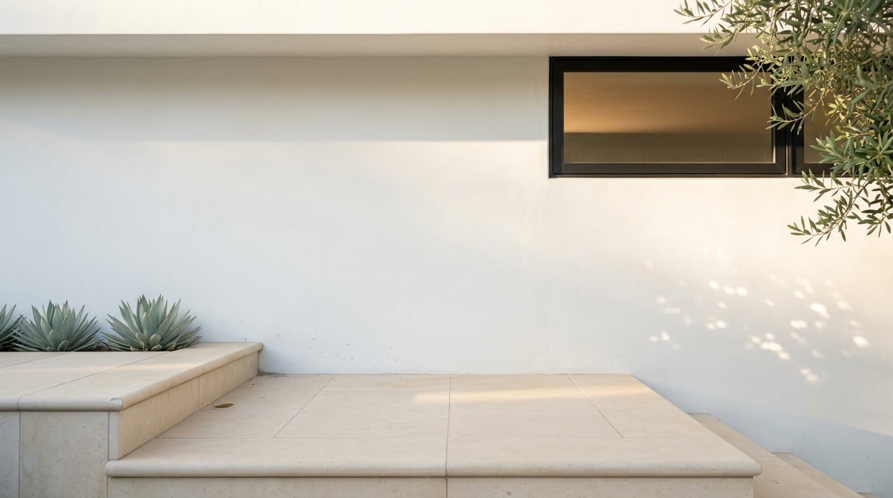
El Medio Bluffs is generally identified as Area 4, between Bienveneda and Temescal Canyon on the current Community Council map. Planning materials tied to a local historic resource describe a Mid-Century Modern residence in the area with low horizontal massing, one-story height, a low-pitch roof with wide overhangs, horizontal window bands, and a carport.
That design language helps explain the character many buyers associate with this pocket. Compared with the Riviera’s more formal estate tradition, El Medio Bluffs is more closely linked to a bluff-side, view-oriented, mid-century-to-modern sensibility.
For some buyers, that distinction is meaningful. The appeal here is often not just privacy or location, but the architectural feel and relationship to the coastal bluff setting.
If you are drawn to cleaner lines, view orientation, and a more relaxed modern coastal expression, El Medio Bluffs may stand out. It often feels less formal than Huntington or the Riviera, while still offering a strong sense of place.
As with the rest of the Palisades, the most accurate comparisons happen at the block level. Street position, views, and rebuilding activity can all affect how one section feels versus another nearby.
The Highlands, identified as Area 2, centers on Palisades Drive, the Santa Ynez Reservoir, and Santa Ynez Canyon Park. A recent local buyer guide describes the area as including hillside single-family homes as well as condo and townhome options.
This pocket is generally treated as a place where privacy, view potential, and lower-key day-to-day living take priority over immediate Village proximity. Among the areas in this guide, it reads as the most tucked-away and retreat-oriented.
That makes the Highlands meaningfully different from the flatter, more village-centered sections of Pacific Palisades. If your lifestyle leans toward quiet surroundings and a bit more separation, this area may feel like a better match.
The Highlands can appeal if you want a more secluded setting and are open to hillside geography shaping your routine. It is also notable for offering a broader housing mix than some of the single-family-focused pockets nearby.
For buyers thinking about long-term fit, this area is often less about being in the middle of activity and more about creating a calm home base with canyon and hillside context.
The Village remains the commercial and social anchor of Pacific Palisades. City planning aims to preserve community-oriented uses and enhance pedestrian orientation in the business centers, and Palisades Village is scheduled to reopen in August 2026.
That is one reason the Alphabet Streets often align best with a walk-to-Village lifestyle. Huntington, El Medio, the Riviera, and the Highlands generally trade some of that convenience for privacy, topography, or larger-lot character.
Beach access is another part of the equation. Will Rogers State Beach offers more than three miles of frontage, beach-path access, picnic tables, volleyball, and other recreation, though Los Angeles County says Lot 5 remains closed due to wildfire recovery.
Trail access is also evolving. Topanga State Park has 76 miles of trails and is open with restrictions as of June 2026, while Temescal Canyon Trail, Rustic Canyon Trail, and several other segments remain closed. Will Rogers State Historic Park reopened in November 2025 with limited access, and some trails there are still closed as well.
If you are trying to match a home search to daily life, it helps to simplify the decision. Start by asking whether you want walkability, privacy, views, architectural character, or lot scale to lead the search.
Here is a practical way to frame the five areas:
In a market like Pacific Palisades, nuance matters. The most useful comparison is rarely neighborhood versus neighborhood in the abstract. It is usually one specific block, street, or view corridor versus another.
If you are weighing where your lifestyle fits best in Pacific Palisades, working with a team that understands hyperlocal differences can help you move with more clarity. For tailored guidance on Westside luxury neighborhoods, connect with LeonardR Group.
Stay up to date on the latest real estate trends.

Build Your Home Gallery With Intention, Restraint, and Style.
Parks, Overlooks, Gardens, and Beautiful Architecture.
Fine Dining and Restaurants for All Occasions in Brentwood.
GIVE YOUR HOME THE CHRISTIE’S TOUCH
LeonardR Group, distinguished luminaries in the realm of real estate, boast an illustrious track record of orchestrating multimillion-dollar transactions in the opulent locales of Brentwood, Beverly Hills, Bel Air, and Malibu. Whether you aspire to buy or sell, rest assured that in their refined stewardship, you shall be endowed with unparalleled resources, consummate expertise, and a network of connections to secure the epitome of value.